
Santa Barbara Neighbors: Block Sources at a Glance
A Santa Barbara block lookup combines sources with different custodians and different proof. City MAPS is the spatial anchor. Assessor and tax searches describe parcels and bills. City permits show named project roles, not every person at a property. The Recorder becomes useful after an APN or owner name is known. Historical reverse directories can show a listed householder for a publication year, while neighborhood organizations supply civic context without turning membership into a resident list.
| Source | What It Shows About a Block | Access |
|---|---|---|
| City MAPS parcel and address layers | Adjacent parcel geometry, APNs, address points, ZIP, neighborhood, City Limits, and annexation context | Free map browse and identify clicks |
| Assessor and tax searches | Situs, APN, value or bill details, installments, and payment history parcel by parcel | Free address or APN queries |
| Santa Barbara City Accela and Street Files | Permit work, code history, applications, plans, and named project roles | Online metadata plus Records and Archives help |
| County Recorder | Ownership changes after names and APNs are derived | Free index; copies ordered separately |
| California voter file | Potential street or precinct registration data for an approved purpose | Application and statutory restrictions |
| Santa Barbara historical reverse directories | Listed occupants or subscribers along a block in a publication year | Local history collections, often in person |
| Neighborhood organizations | Civic contacts, agendas, and community activity | Public contact routes; rosters generally not public |
The table is deliberately not a promise that every neighbor appears in every source. An owner can receive mail elsewhere, a permit can name an architect or contractor, a directory can omit a household, and a protected voter can be withheld. A block study is strongest when the source and its limit are written beside each name or parcel.
Mapping Santa Barbara Neighbors by Parcel
Santa Barbara City MAPS is map-led rather than an owner-name search. The adjacent-parcel method keeps the radius tied to a real lot. Start with the address search or geocoder, turn on the parcel and address layers, and use the map rather than launching a separate search for every house. The County Surveyor Interactive Map is a useful county-side companion when the parcel is outside the incorporated city.
- Search the target address in Santa Barbara City MAPS, zoom until parcel boundaries display, and enable Assessor Parcels City and Address Points.
- Click the target polygon, record its APN and address attributes, then click parcels sharing a side or rear boundary. Add parcels across the street when the block question calls for them.
- Turn on ZIP Codes, Neighborhoods, City Limits, Annexation Map, voting districts, and precincts only as needed. These layers define geography, not household membership.
- Use each APN in the Assessor or Treasurer search. Keep situs and mailing fields separate, and do not treat a returned owner or tax contact as every person at the address.
- Use City Accela or paper Street Files for selected permit history, then use the Recorder after an owner name and parcel identity are confirmed.
The map has no documented public owner-export or resident-radius function. A clockwise APN log is safer than street-number order because rear lots, flag lots, condominiums, and multi-unit parcels can sit beside a target without sharing its familiar number.
The Santa Barbara County Surveyor Interactive Map documents the county parcel-viewer route and map tools that complement City MAPS.
A surveyor map can preserve parcel geometry and map context, but ownership and occupancy still require the correct County or City record source.
Three Address Identities for Santa Barbara Neighbors
The most common neighbor mistake is treating every address field as the same thing. Santa Barbara’s City parcel service separates street number, direction, street name, suffix, unit, situs city and ZIP from mailing-address components. Public map pop-ups may show less than the underlying service schema, so use only what the live display actually returns.
- Situs address
- The physical parcel location used by assessment, tax, GIS, and permit systems.
- Mailing address
- The destination for owner or tax correspondence. It may be a PO box, trust, agent, or an out-of-area address.
- Legal description
- The lot, tract, land-grant, parcel-map, or metes-and-bounds identity used in recorded land documents.
- Address point
- A mapped location used to place a structure or unit in the GIS view; it does not list every occupant.
Matching situs and mailing addresses can support an owner-occupancy inference when the returned public record exposes both, but it cannot prove every household member. A neighbor lookup should label an owner as an owner and a permit contact as a project role. It should not turn either into a claim about the full household.
Santa Barbara Neighbors and Voter Records at Block Scale
California My Voter Status is an authenticated self-lookup, not an open block browser. It asks for first name, last name, date of birth, and either a California driver license or identification number or the last four numbers of a Social Security number. A successful match can show the person’s registration status, address, party and language preferences, polling place, and election information. It is not a tool for entering a neighbor’s address.
For a person’s own Santa Barbara record or election help, Santa Barbara County Elections lists 805-568-2200 and a South County office at 4440-A Calle Real, Santa Barbara, California 93110. The state fallback is 800-345-VOTE or elections@sos.ca.gov. The Secretary of State’s current map reports 250,289 registered voters countywide as of May 18, 2026. That is a Santa Barbara County figure, not a count for a Santa Barbara city block or ZIP code.
A broader voter-file request identifies the requester, geography, data products, beneficiary, and intended statutory purpose. Approved election, scholarly, journalistic, political, governmental, or qualifying record-review uses are not a casual request for nearby addresses. Registration affidavits are confidential from routine display, and driver-license numbers, Social Security numbers, signatures, and unique identifiers are not supplied.
The Santa Barbara County Elections office is the local contact for election services and access questions.
The elections image represents a records office and its public contact path, not a public list of Santa Barbara neighbors.
Santa Barbara Neighborhood Layers
The Santa Barbara City GIS neighborhood layer gives the block a local geography beyond ZIP code. It names areas such as Alta Mesa, Bel Air, Campanil, Cielito, Coast Village, Downtown, East Beach, Eastside, Eucalyptus Hill, Foothill, Hidden Valley, Hitchcock, Hope, Laguna, Lower Riviera, Lower State, Lower West, Milpas, Oak Park, Riviera, Samarkand, San Roque, Upper East, Upper State, Waterfront, West Beach, West Downtown, West Mesa, and Westside. These are map areas, not proof that an association exists or that a household belongs to a group.
Use the Santa Barbara neighborhood GIS layer to compare a parcel with the City’s named geography. A map label can help explain why neighbors describe a block as Mesa, San Roque, Riviera, or Milpas, while the legal boundary and APN still control the records search.
That geography helps with community history and meetings, but it cannot establish a person’s identity, affiliation, or presence.
Neighborhood Advisory Groups Around Santa Barbara
Santa Barbara community organizations add a human and civic layer to a block lookup. The official Neighborhood Advisory Council represents neighborhood residents through public agendas and an official roster, but it is not a household directory. City planning materials also name local associations and subdivision groups. The research does not establish public membership rosters for these organizations, so the contact route is more useful than a claim about who belongs.
| Organization or group | What the public record supports |
|---|---|
| Neighborhood Advisory Council | Citywide advisory role, public agendas, roster, and NACPublicComment@SantaBarbaraCA.gov |
| Riviera Association, Bungalow Haven, Upper East Side Association | Named in City planning mailing materials; no established public member directory |
| Milpas Community Association and San Roque Garden or Peach Grove Association | Community contact layer for named areas; not a public resident roster |
| Hidden Valley Residents’ Association and Mesa area groups | Planning-notice contacts are available; membership names were not established as public |
| Subdivision and condominium groups | Names such as Bel Air Knolls, Braemar Ranch, Campanil Hills, Rancho San Antonio, Village Green, and Villa Sycamore appear in official mailing material, with designated contacts rather than full membership |
Congregations, neighborhood-watch programs, civic clubs, and fraternal groups should be treated the same way. A public officer list or meeting notice can support a contact, but membership and household details remain private unless the organization intentionally publishes them.
The official Santa Barbara Neighborhood Advisory Council page is the appropriate public route for civic agendas and comments.
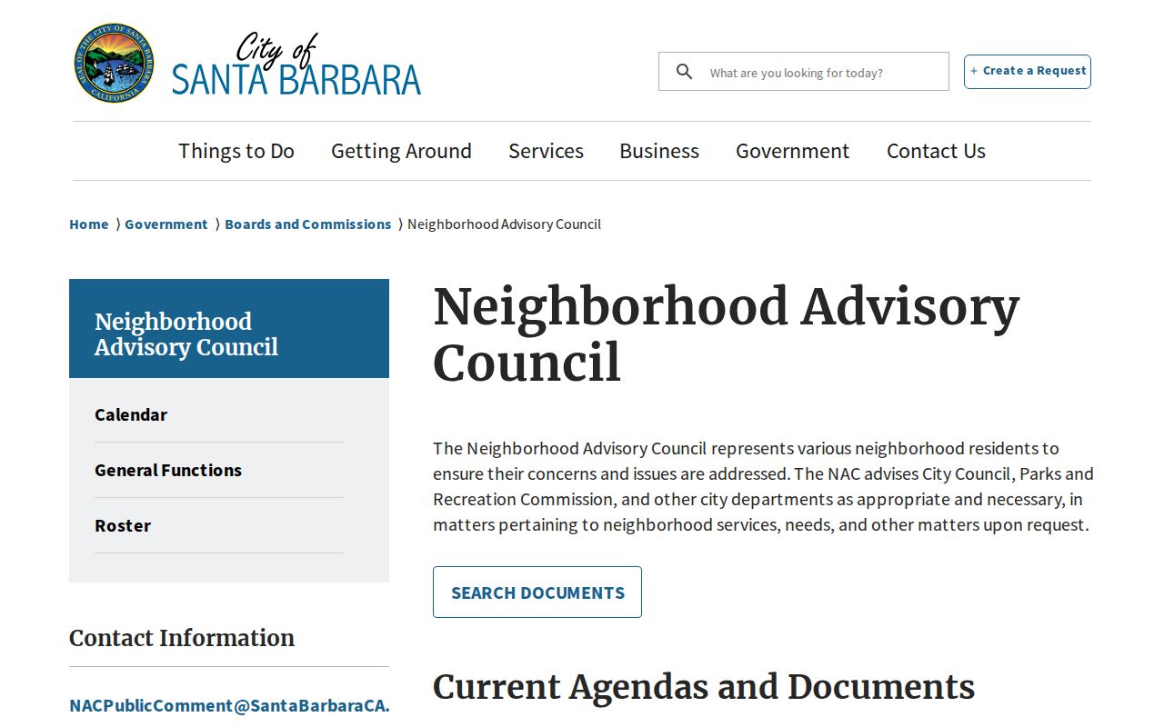
The advisory council layer can help a resident connect with a community issue without exposing a household roster.
Historical Santa Barbara Neighbors in Reverse Directories
When a Santa Barbara question is historical, the Gledhill Library printed run becomes the address-first source. Reverse sections begin in 1911 and let a researcher choose a street, follow house numbers, and read the listed householder or business. The run is near continuous from 1901 through 1991, but publication conventions, city-versus-county coverage, omissions, and spelling changes remain important.
Read the selected address, then adjacent numbers, and repeat in nearby years. A reverse listing shows a publication snapshot, not every adult in a home and not proof of ownership. Pair it with deeds, census schedules, newspapers, or probate when the block’s past matters. For the full named-street chain and current address-keyed records, use the Santa Barbara street directory workflow rather than expanding a block lookup into an entire street study.
Official Records and Commercial Neighbor Tools
Santa Barbara commercial neighbor lookup products and official local records are not interchangeable. The commercial category may combine deeds, tax data, marketing data, and inferred household links. It can be stale or wrong, and it does not change what the Santa Barbara County Recorder, Assessor, City MAPS, or Elections office actually holds. Official sources are narrower, but their custody and limits can be checked.
| Source type | Useful strength | Important limit |
|---|---|---|
| City MAPS and County Surveyor | Shows parcel geometry and geographic adjacency | Map context is not a household or occupant list |
| Assessor and Treasurer | Connects APNs, situs, values, bills, and payment detail | Owner or tax contact is not every person at the parcel |
| Recorder index | Supports a documented ownership chain | Not an address search and not proof of residence |
| Historical directories | Shows a listed householder or subscriber in a publication year | Omissions, publication gaps, and old coverage boundaries apply |
| Commercial neighbor tools | May offer a quick compiled association | Source mix, freshness, correction path, and lawful use may be unclear |
For a Santa Barbara block question, map the parcels, label the record type, and verify the claim with its custodian.
Privacy Limits on Santa Barbara Neighbors
Santa Barbara public parcel records do not expose every occupant, child, roommate, guest, or household member. Utility accounts, delivery data, DMV residence information, and live customer use are not a public reverse directory. California’s voter rules limit routine display of registration affidavits, and protected people may be omitted from an approved file. California Safe at Home can provide a substitute mailing address and public-record shielding for eligible survivors and other qualified participants.
The California Safe at Home program explains the enrollment route and lists 877-322-5227 and SafeAtHome@sos.ca.gov. It is mail forwarding and address protection, not a change to identity or a promise that every property record disappears. If an exposed record raises a safety issue, contact the custodian and use the program’s instructions instead of republishing the address.
Lawful use. Santa Barbara neighbor lookups are for getting to know a block, reconnecting, civic activity, and personal safety awareness. Do not use records to watch, intimidate, stalk, harass, or harm anyone.