
Tracing a Santa Barbara Street
A Santa Barbara address-keyed search works best as a chain. Santa Barbara County property records can identify a parcel and a recorded owner, while permits, tax bills, directories, and voter services answer narrower questions. Start with the address, not a guessed name. Keep the APN, the exact street spelling, the unit, the query date, and each record number together as you move between custodians.
The Santa Barbara sequence below separates ownership evidence from clues about people associated with a place. It also keeps city and county jurisdiction in view, since a Santa Barbara mailing line can describe Montecito, Goleta Valley, or another unincorporated area.
- Enter a house number and partial street name in the Santa Barbara County Assessor parcel search. Omit Street, Avenue, or Boulevard, choose Sort Results By Street, and save the APN. The public form does not present an unrestricted owner-name box.
- Open Santa Barbara City MAPS, search the address, turn on Assessor Parcels City and Address Points, and identify the target polygon. Note nearby APNs, ZIP, neighborhood, City Limits, and the Annexation Map layer.
- Use the Santa Barbara Treasurer-Tax Collector search for a secured or unsecured address, parcel number, or bill number. Address autocomplete starts after three characters and returns groups of 15, so tax results help enumerate parcels but do not establish occupancy.
- Take a confirmed owner name into the County Recorder's Official Records Search. Search party-name variants, document title, and date, then connect the result back to the APN or legal description before treating it as the same parcel.
- For an older householder trail, consult the reverse sections of local directories at Gledhill or Sahyun. Their address-first listings are historical publication snapshots, not complete present-day household records.
Santa Barbara Address Records
Santa Barbara's address records are split among custodians. The Santa Barbara Assessor and Treasurer work from parcel or property keys. City MAPS supplies geographic context. Accela and paper Street Files describe municipal work. The Clerk-Recorder index is name-keyed, so it becomes useful after an address search produces a current or historical party name.
| Record set | Custodian | Address key | Contribution and access |
|---|---|---|---|
| Parcel detail and value notice | Santa Barbara County Assessor | APN or house number plus street and optional unit | Situs, APN, assessment detail, value notice, and map; free online route |
| Secured and unsecured tax bills | Treasurer-Tax Collector | Address, parcel/property number, or bill number | Bill years, installments, amounts, and payment history; 30 unpaid and 10 paid years online |
| Parcel and boundary map | Santa Barbara City MAPS and County Surveyor | Geocoder, map click, parcel or map reference | Adjacent lots, ZIP, neighborhood, City Limits, annexation, and survey layers; free viewers |
| Permits and Street Files | Santa Barbara Community Development | Address, APN, or record number | Applications, project contacts, code actions, plans, and final evidence; online from the 1990s plus paper files |
| Recorded deeds and liens | Santa Barbara County Clerk-Recorder | Party name, document title, number, or date | Indexed parties and recording references; modern index after 1975, Historical Index 1931-1974, archive fallback before 1931 |
| Surveyor maps | County Public Works Surveyor | Map, APN, tract, or parcel reference | Parcel creation, lot splits, condominiums, legal descriptions, and correction history |
The Santa Barbara APN is the join key, but each record answers a different question. A tax bill is not an occupancy statement. A permit may name an applicant, architect, engineer, or contractor. A recorded deed proves an instrument and party role, not that the grantee lived at the parcel. A reverse listing shows an association with an address when canvassed.
Santa Barbara Street Search Fields
The Assessor parcel and address page is the cleanest first stop for a Santa Barbara street directory search. Its address route is deliberately narrow. Use the fields as the form presents them, and do not infer that a field absent from the page is searchable online.
| Parcel Number | One search key. A numeric APN such as 123-456-789 identifies the parcel. |
|---|---|
| House Number | Address-mode key, such as 1804. |
| Unit # | Optional refinement for a multi-unit address. |
| Street Name | Address-mode key. Partial names are accepted; omit Street, Avenue, or Boulevard. |
| Sort Results By | Choose Parcel # or Street. Street sorting helps a block-by-block pass. |
| Parcel Book/Page Number | Map lookup key. Book numbers use three digits with leading zeros; page numbers use five or six digits, and books 004, 098, 118, and 128 require six. |
The Santa Barbara result can lead to parcel detail, a value notice, and an assessor map. Those maps are informational tax-reference maps, not legal documents, and some date to 1960. If a name-led inquiry is needed, ask the Assessor about lawful public assessment-roll access rather than promising a web owner search.
Note: The Assessor page joins a street address to an APN, but it does not turn the APN into a complete list of people connected with the parcel.
Walking Santa Barbara Streets in MAPS
Santa Barbara City MAPS is map-led rather than owner-led. Its search or geocoder zooms to an address or place, while Identify opens attributes for a clicked parcel. A street directory pass should pan across the block and click successive polygons instead of launching an unrelated search for each number. Rear lots, flag lots, condominiums, and multiple units can break street-number order.
The layer list adds context that a parcel record cannot. Neighborhoods, City Limits, ZIP Codes, the APN Book, Annexation Map, schools, Assessor Parcels City, voting districts, and precincts are available in the City service. The County Surveyor Interactive Map adds a county map route for surveys, parcel maps, land grants, cemetery maps, and parcel-creation history. These layers can show geography and jurisdiction, not a live resident list.
Use the public City GIS service catalog when a map pop-up needs a field checked. The service separates situs street components, unit, city, ZIP, and mailing-address components, but a backend field is not a promise that the public map displays personal data. Record only what the live public result actually shows.
Note: City MAPS can show parcel relationships and boundaries, but mapped ownership or assessment data is not proof of occupancy.
Santa Barbara Street Permit Records
For Santa Barbara municipal history, use Santa Barbara's Accela Citizen Access search without a login. Address mode separates Street No., Direction, Street Name, Street Type, Unit Type and Number, City, State, and ZIP. It also accepts a nine-digit APN. Work-location search supports a map, permit or application type filters, date ranges, and the documented percent wildcard. The City advises searching permit types separately, and the online system begins in the 1990s.
Older material is not a dead end. Santa Barbara City directs researchers to paper Street Files and Records & Archives at 630 Garden Street. The documented contact route is (805) 564-5485 ext. 4548 or CDPlan@SantaBarbaraCA.gov. Plans are appointment-only and copyright-protected. Files can contain applications, correspondence, maps, code notices, citations, appeal decisions, and occupancy or final-inspection evidence. A signed and dated final-inspection card can be useful when a separate certificate is absent.
The City public-record request portal, OneRequest, is the fallback when a specific file is identifiable but not exposed in ACA. A request can ask for an address, APN, permit number, or file series, but California's Public Records Act does not require the City to create a resident directory from scattered records.
The City property-records page shows the route into Street Files and archives:
View Santa Barbara property records and archives provides the source context for this address-based workflow.
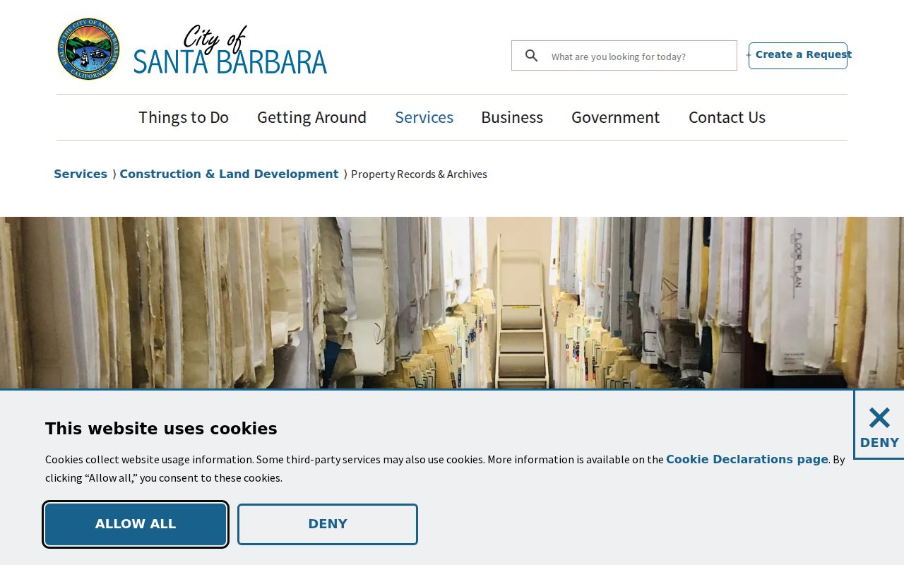
The image points to the City's own records route, where a street address can lead to paper plans and permit history that the current online search does not cover.
Santa Barbara Street Grid
Address continuity in Santa Barbara needs historical context. Captain Salisbury Haley laid out an American grid in 1851 over the former pueblo, but the blocks were not perfectly uniform and some alignments were deliberate or accidental. State Street business and residence numbering was formalized in 1875. A corner description in an early directory may therefore not match a modern geocoder without a map and a period source.
Street names can change while numbers remain stable. Indio Muerto Street became Hutash Street after City Council action on September 29, 2020, with the new name effective December 14, 2020. Street numbers did not change, and USPS accepted both names for one year. Search both names in permits, correspondence, directories, and deeds through the City's Hutash Street information.
Jurisdiction can change too. City MAPS includes City Limits and Annexation Map layers. A parcel with a Santa Barbara postal label may be outside the incorporated city, especially in Montecito, Noleta, Goleta Valley, or along upper-west edges. County permits and City permits can then belong to different eras of the same parcel history.
Note: The 1851 grid, 1875 numbering, and the Hutash rename make period maps essential whenever a Santa Barbara street directory entry seems to vanish.
Santa Barbara Street Deed Chain
The Recorder's Official Records Search is a grantor-grantee index, not an address search. Use the APN and legal description to derive a current or known party, then search that party by name, document title, and recording date. An index result ordinarily gives a recording number, date, title, and indexed roles, with book and page information for older material. An image or certified copy requires a separate order.
Santa Barbara County describes the modern real-estate index as after 1975 and provides a separate Historical Index for 1931-1974. The portal's document-number help also describes indexing from 1900. Treat those statements as scope differences between interfaces, not as permission to assume that every book or image is online. The county's real-estate records guide and Clerk-Recorder Historical Archives are the fallback chain for older material.
To move backward, identify the current acquisition deed, record the grantee, grantor, date, number, and legal description, then search the grantor as an earlier grantee. Validate each link with the same parcel identity. Copies can be ordered through the Recorder, and the portal identifies a $10 document copy and $2 certification charge, subject to the current order page. Ownership still does not prove who occupied the address.
Santa Barbara Reverse Directories
Reverse or criss-cross directories are the historical address-first tool. In a reverse section, find the street alphabetically, follow house numbers, and copy the listed householder or subscriber, spouse or occupation symbols, and publication year. Read the abbreviation key before interpreting a mark. The result reflects the publisher's canvass and listing practice, so an omitted person or an empty year is not proof that a property had no occupants.
Santa Barbara's documented printed run has reverse sections beginning in 1911. Gledhill Library holds the deepest local sequence through 1991, while the Sahyun Genealogical Library has printed directories from 1886-1991 and related nearby-community material. Montecito and Goleta become documented in the run from 1956. A complete post-1991 reverse run was not located in the assigned sources. The collection history and reading method are developed in the Santa Barbara Directory Book.
Pair an address listing with a deed, census, obituary, probate file, or permit. A directory may show a householder while a deed shows an owner, and the two names may differ for sound reasons. The combination is stronger than any single line.
Santa Barbara Street Terms
Several labels look alike but join different record systems. Keeping them separate prevents a street directory search from overstating what a parcel record proves.
- Parcel
- A mapped piece of land identified for assessment or survey purposes. One street number can relate to more than one parcel or unit.
- APN
- The assessor parcel number used to join assessment, tax, GIS, and some permit searches.
- Situs address
- The physical location used by assessment, tax, GIS, and permit systems.
- Mailing address
- The destination for owner or tax correspondence. It can be elsewhere, a post office box, a trust address, or an agent address.
- Legal description
- The land identity in a deed or map, such as a lot, tract, land grant, parcel map, or metes-and-bounds description.
- Plat
- A recorded map showing parcels, lots, streets, or subdivision relationships. It can explain a parcel shape that street numbers hide.
- Criss-cross directory
- An address-arranged directory that reverses the usual name-first lookup and lists a publication-year householder or subscriber.
City and County map layers can expose separate situs and mailing components, while a deed's legal description can survive a street-name change better than a postal line. Use the term that matches the source.
Limits of a Santa Barbara Street Directory
A Santa Barbara street directory can locate public parcel and document trails, but it cannot reveal every person connected with a property. Owners, tax-mail recipients, permit contacts, directory householders, and current occupants can be different people. Children, visitors, people who occupy a property without owning it, and unlisted households generally do not appear in property indexes or reverse directories.
California's My Voter Status tool authenticates a person with name, date of birth, and a California license or identification number or the last four Social Security digits. It is not a public street browser. Voter-file access under Elections Code sections 2187, 2194, and 18109 is limited to approved purposes, and protected addresses are withheld. DMV residence information and utility customer records are also not open reverse-directory sources.
For a correction, use the custodian's record or request channel. Do not confront anyone on the strength of a same-name hit, a tax mailing address, or a permit role. Santa Barbara County and California public records are useful for lawful personal research, family history, property history, and civic questions when each source is read within its limits.
Lawful use. Address and street records are for personal, lawful research. California law prohibits stalking, harassment, and certain harmful electronic disclosures, so never use a Santa Barbara street directory to intimidate or harm a person.