
Santa Barbara Previous Residents Across the Record Years
A Santa Barbara house history works best as a sequence rather than one search. The current parcel gives the starting key. The Recorder then reaches backward through indexed parties, while printed directories and census schedules test whether a named owner was also a listed householder. City permits date changes to a structure, and maps keep an old address tied to the right lot. The table separates the main Santa Barbara sources by the years and kind of evidence they actually provide.
| Source | Years It Covers | Where Held | What It Shows |
|---|---|---|---|
| Official Records Search | After 1975 | Santa Barbara County Recorder | Indexed parties, roles, titles, dates, and recording references |
| Historical real-estate index | 1931-1974 | County Recorder gateway and historical route | Earlier grantor and grantee bridge |
| Deed books and archives | Pre-1931; county records reach to 1850 | Clerk-Recorder Historical Archives | Book and page chain, recorded maps, and older land evidence |
| Printed city directories | 1875-1991; reverse sections from 1911 | Gledhill and Sahyun collections | Listed householders, addresses, businesses, and address-first entries |
| Federal census | 1880 and 1900-1950 public schedules | NARA and library genealogy databases | Household members, relationships, ages, and occupation in an enumeration year |
| City Accela and Street Files | 1990s-present online; older paper records vary | Santa Barbara Community Development | Permit work, contacts, plans, code actions, and final-inspection clues |
| Sanborn fire maps | Late 1800s through early 1950s holdings | Gledhill, UCSB, and local repositories | Footprint, use, street context, and rebuilding clues |
Start with the Assessor and City MAPS for a current parcel. For a deed question, move to the modern index, then the 1931-1974 Historical Index and pre-1931 archive route. For a household question, begin with the directory year closest to the date and pair it with a census or newspaper source. A missing entry is a research gap, not proof that the address was empty.
Santa Barbara Parcels Before Names
Current Santa Barbara parcel work comes first because the Recorder index is not advertised as an address search. The Santa Barbara County Assessor parcel map accepts an APN or house number plus street and optional unit. Its address form separates house number, street name, and unit, and it permits sorting by parcel number or street. City MAPS can then confirm the parcel shape, address point, ZIP, neighborhood, City Limits, and annexation context. That parcel anchor helps the previous residents trail stay tied to one physical place.
Keep three address identities in separate notes. The situs address is the physical location used for assessment, tax, GIS, and permits. The owner mailing address is where tax correspondence goes and may be a PO box, trust, or agent. The legal description identifies the land through a lot, tract, map, land grant, or metes-and-bounds description. The legal description often survives a street-name change better than a familiar mailing line.
The County’s real-estate records guide is the source for the current and historical index routes used in a Santa Barbara previous residents search.
The parcel image is a starting point, not a household answer. Owner display is not guaranteed on the public web form, and an owner mailing address does not establish present occupancy.
Walking Back a Santa Barbara Deed Chain
The Recorder search moves by party name, document title, or document number. It does not move backward from a street address by itself. The Santa Barbara chain of title is built by using a current owner or known deed, confirming the parcel in the legal description, and then changing the role and date range at each earlier step.
- Normalize the address in City MAPS, record the APN, and note the legal parcel or map reference.
- Obtain the current assessed owner through the lawful assessment-roll channel. The online owner display is not guaranteed, so record what the returned source actually shows.
- Search that name in the post-1975 Official Records index. Narrow by deed title and recording date, then copy the indexed parties, roles, recording number, and legal description.
- Identify the acquisition deed and search its grantor as a grantee in an earlier date range. Confirm the same parcel by legal description or APN, not by a name alone.
- At 1975, move to the separate 1931-1974 Historical Index. Before 1931, ask the Clerk-Recorder archives or counter for deed books, index books, and book-page references.
- Order an image or certified copy only after the chain is clear. The research records a $10 document copy price and $2 certification price, but a printed recording fee on an old instrument is not a current copy price.
- Grantor and grantee
- The grantor transfers an interest; the grantee receives it. In a backward search, an earlier seller often becomes the next grantee to find.
- Chain of title
- A linked sequence of recorded transfers for one parcel, checked against the legal description.
- Legal description
- The land identity in a deed or map. It may identify the parcel when a street number or name has changed.
- Index versus image
- An index summarizes a recorded document. The image may contain the full legal description, return address, signatures, and additional names.
A deed proves a recorded transfer, not residence. Cross-check each interval with household sources.
Santa Barbara Directories Hold Past Households
Printed directories supply the household layer that the deed chain lacks. Santa Barbara’s documented run begins with a countywide 1875 volume, includes named city volumes through 1897, then becomes virtually unbroken from 1901 through 1991. Reverse sections begin in 1911, with Montecito and Goleta documented from 1956.
The Gledhill Library at 136 East De la Guerra Street has the deepest run and related maps, newspapers, and manuscripts. The Santa Barbara directory book collections page separates those shelves from the backward workflow. Sahyun at 316 Castillo Street has 1886-1991 directories, volunteers, scanners, and a catalog requiring SBCGS.
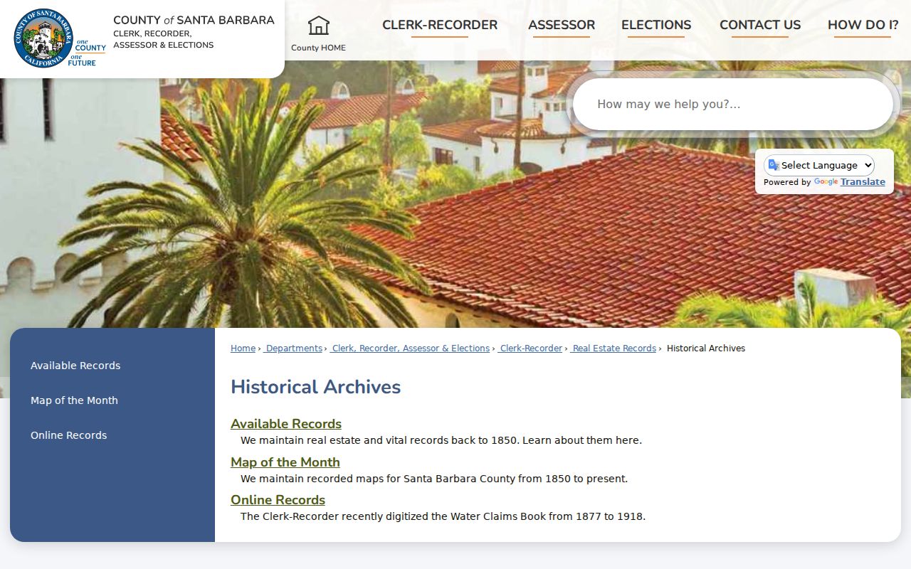
The Santa Barbara County Historical Archives route adds older county custody to the local shelf.
Printed or scanned pages should be read with their title page and abbreviation key. Publisher, geographic coverage, and symbols changed, and a directory edition may include Santa Barbara County communities beyond the city.
Pairing Santa Barbara Directories With Census Years
Directory entries are publication snapshots. They may list a householder, a subscriber, or a business contact, while a census can show relationships and ages in a particular enumeration year. The 1888 Santa Barbara directory is especially useful because local genealogists presented it as a bridge around the missing 1890 population census.
- Choose the closest directory year and copy the name, initials, spouse marker, occupation, address, and any residence abbreviation exactly.
- Search the same surname and address in the next available volume. From 1911 forward, use the reverse section to follow the street and house number as well as the alphabetical entry.
- Pair the directory with the 1880 census, then 1900 through 1950 schedules. Compare household relationships, ages, birthplaces, and occupation rather than demanding an exact spelling match.
- Check newspaper notices, cemetery indexes, and naturalization or vital records when a name appears or disappears between editions.
- Use Sanborn maps and legal descriptions when the address is a corner, an intersection, a changed number, or a parcel that was split.
Mariano Valenzuela is a useful Santa Barbara example. Later directories rendered the name as Marciano or Marino, while occupation and address helped connect the entries. Variant spellings, initials, spouse names, and an address anchor often carry more weight than an exact-name match.
Santa Barbara Permits and Street Files
Santa Barbara permit records can date an addition, conversion, demolition, or final inspection, but they do not by themselves date an ownership transfer. City Accela permits can be searched without a login by address or nine-digit APN, and the City says the online system begins in the 1990s. Results can show applications, project contacts, work descriptions, statuses, code records, and dates.
Older evidence is routed through City Records and Archives and Street Files at 630 Garden Street. Records and Archives lists (805) 564-5485 extension 4548 and CDPlan@SantaBarbaraCA.gov. Files can include applications, correspondence, maps, permit copies, code actions, plan-view requests, and final-inspection evidence. Plans are appointment-only and copyright-protected.
Sanborn Maps and Santa Barbara Address Drift
Sanborn fire-insurance maps tie an old address to a building. Gledhill has Santa Barbara copies for 1886-1903 and 1903-1931. UCSB describes later holdings through the early 1950s in slide sets, microfilm reel 84, and an oversized volume. Maps show footprints and street context, not a resident list.
Santa Barbara’s 1851 Haley grid was laid across earlier pueblo paths and produced nonuniform blocks and misalignments. State Street business and residence numbers were formalized in 1875. A corner description in an early directory may not map cleanly to a modern number, so compare the map, legal description, and neighboring parcels.
The June 29, 1925 earthquake damaged the courthouse buildings, but it does not prove that all county record books were lost. The present courthouse was completed in 1929, and surviving holdings show distributed custody. Note: a building disaster does not prove that a Santa Barbara address record disappeared.
Hutash and the Santa Barbara Address Trail
Indio Muerto Street became Hutash Street through a documented City action. Council approved the change on September 29, 2020, the new name took effect December 14, 2020, street numbers stayed the same, and USPS accepted both names for one year. A search for previous residents should use both names in directories, permits, correspondence, and deeds.
This rename is a clean example of why a current geocoder cannot be the only address tool. A pre-2020 directory may retain Indio Muerto, while a later City file uses Hutash. City MAPS can show current layers, and the City’s Hutash Street notice supplies the date bridge.
Annexation produces a similar custody shift. Use the City Annexation Map to test whether the parcel moved from County to City jurisdiction, then search both agencies when the address interval crosses that change. A Santa Barbara postal line alone cannot choose the correct records office.
Obituaries and Probate for Santa Barbara Past Residents
Obituaries can connect a former householder to relatives, a death date, a place of worship, or a later address. Santa Barbara Public Library offers an obituary microfilm search for $25 per person over a 10-day window around a death date, with a stated 2-4 week mail turnaround. The Santa Barbara Public Library local-history service is the documented request route.
Probate can supply fiduciaries, heirs, and estate addresses, but the Superior Court, not the County Clerk, holds probate files. The Santa Barbara Superior Court public portal may show a register of action, while images and copies depend on the case and court rules. Check the endpoint against the deed and directory.
The Sahyun collection adds indexed local birth, death, naturalization, and cemetery material. The California State Archives lists Santa Barbara County naturalizations from 1856-1939, deeds from 1844-1922, probate from 1862, and wills from 1852-1936. These trails can resolve similar names.
Limits on a Santa Barbara Previous Residents Search
A prior deed holder is not automatically a prior resident. A directory householder is not automatically the owner, and a missing name is not proof of vacancy. Household members, recent movers, and protected people can be absent. A telephone book shows a subscribed line, not every adult at the address.
Keep the purpose narrow: family history, house history, an estate question, or archival curiosity. Use the proper custodian for living people, and never republish private addresses or use records to harass anyone.
Lawful use. Santa Barbara previous residents research is for house history, family history, and careful records work. Using records to track, intimidate, harass, or harm a living person is prohibited.